
About Bighorn Canyon
The vast, wild landscape of Bighorn Canyon National Recreation Area offers visitors unparalleled opportunities to immerse themselves in the natural world, and experience the wonders of this extraordinary place. With over 120,000 acres, one can find an astounding diversity in ecosystems, wildlife, and more than 10,000 years of human history to explore.
On the badge
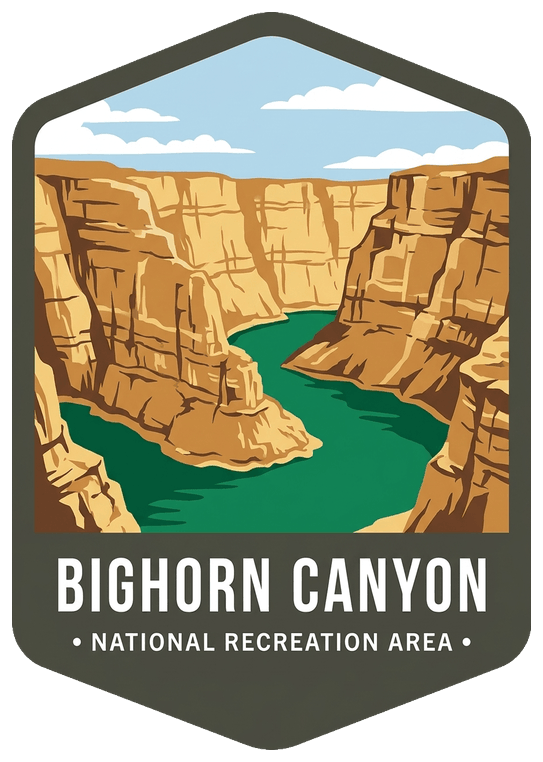
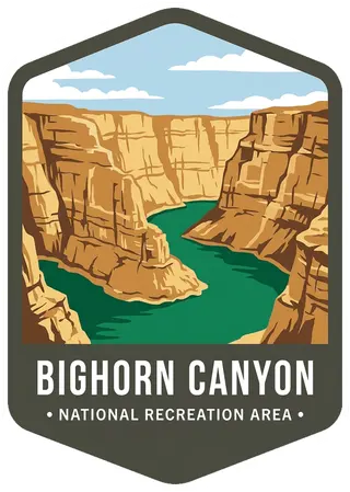
Sheer layered limestone walls rising a thousand feet above a horseshoe bend of emerald Bighorn Lake, a pale dry sky.
Planning a visit
Things to do
- Arts and Culture
- Theater
- Auto and ATV
- Scenic Driving
- Astronomy
- Stargazing
- Biking
- Road Biking
- Boating
- Motorized Boating
- Sailing
- Jet Skiing
- Boat Tour
- Camping
Weather
North District: Semi-arid, receiving 18 to 20 inches of rain annually. South District: High-desert, receiving 6 to 10 inches of rain annually. Summer temperatures: Highs in the 80s (F) and 90s (F), lows in the 50s (F) and 60s (F). Summer temperatures can peak over 100 degrees. Winter temperatures: Range in the 20s and 30s with low temperatures averaging the 10s (F) and 20s (F). During the winter the thermometer can drop below 0 (F) with extreme wind chill factors.
Getting there
Bighorn Canyon has two districts that are separated by a three hour drive. To get to the North District at Fort Smith, MT from Billings, take Interstate 90 south to Hardin, MT. Turn at exit 495 onto State Highway 313 to St. Xavier and then to Fort Smith, Montana. To get to the South District at Lovell, WY from Billings, MT, take Interstate 90 west. Turn at exit 434 at Laurel, MT. Turn onto US 310 East/US 212 South. Turn at US 310 East to Lovell. The visitor center is on the east side of Lovell.
Visitor details courtesy of the National Park Service. Official Bighorn Canyon site
 GlacierMT
 Beaverhead–DeerlodgeMT
 Big HoleMT
 BitterrootMT, ID
 FlatheadMT
 Fort Union Trading PostMT, ND
 Boston Harbor IslandsMA
 Chattahoochee RiverGA
 ChickasawOK
 CurecantiCO
 Delaware Water GapNJ, PA
 Ed JenkinsGA