
About Curecanti
Three reservoirs and surrounding lands make up this recreation area in western Colorado. It is a landscape of tradeoffs; natural and human made features exist together. Geologic wonders are abundant from the sagebrush shrublands to forests. Visitors can experience the park year-round on both land and water.
On the badge
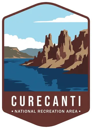
The eroded volcanic spires of the Dillon Pinnacles towering over sapphire Blue Mesa Reservoir.
Planning a visit
Things to do
- Astronomy
- Stargazing
- Boating
- Motorized Boating
- Sailing
- Jet Skiing
- Camping
- Backcountry Camping
- Canoe or Kayak Camping
- Car or Front Country Camping
- Horse Camping
- Group Camping
- RV Camping
- Climbing
Weather
During spring and fall, temperatures range from 44°F to 70°F (7°C to 34°C) with overnight lows from the teens to about freezing (-9°C to 2°C). In summer, temperatures are usually in the 70°F to 80°F (21°C to 27°C). Nights are usually 40°F to 50°F (4°C to 10°C). The wind often picks up at 12 pm and continues through the afternoon. Thunderstorms are common. In winter, temperatures usually reach 20°F to 30°F (-7°C to -1°C) and lows often dip below zero (-18°C).
Getting there
Curecanti is located between the Colorado towns of Gunnison (to the east), Montrose (to the west), and Lake City (to the south). The West Elk Mountain Wilderness area borders Curecanti to the north. U.S. Highway 50 runs the length of Curecanti east to west.
Visitor details courtesy of the National Park Service. Official Curecanti site
 Great Sand DunesCO
 Mesa VerdeCO
 Rocky MountainCO
 AmacheCO
 ArapahoCO
 ArapahoCO
 Delaware Water GapNJ, PA
 Ed JenkinsGA
 Flaming GorgeWY, UT
 GatewayNY, NJ
 Gauley RiverWV
 Glen CanyonUT, AZ