About Capitol Reef
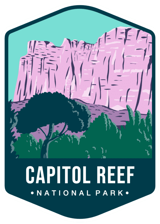
The Waterpocket Fold, a nearly 100-mile wrinkle in the Earth's crust, forms the heart of Capitol Reef. Historic Fruita orchards, where visitors can pick fruit in season, sit beneath cliffs of red and white sandstone.
Located in south-central Utah in the heart of red rock country, Capitol Reef National Park is a hidden treasure filled with cliffs, canyons, domes, and bridges in the Waterpocket Fold, a geologic monocline (a wrinkle on the earth) extending almost 100 miles. (National Park Service)
Don't miss
- Fruita orchards and Gifford House pie
- Hickman Bridge
- Cathedral Valley
- Capitol Gorge
When to go
April to June and September to October
Planning a visit
Things to do
- Arts and Culture
- Cultural Demonstrations
- Astronomy
- Stargazing
- Biking
- Road Biking
- Camping
- Backcountry Camping
- Car or Front Country Camping
- Horse Camping
- Group Camping
- RV Camping
- Canyoneering
- Climbing
Weather
Weather is posted daily; check at the park visitor center for weather updates. Do not enter into narrow canyons if there is a threat of rain or if rain has been falling in the area. Rain and snow may also make dirt roads impassable to vehicles.
Getting there
From I-70: Take exit 149, then take UT-24 west toward Hanksville; continue for 43.8 miles (70.5 km). Turn right to continue on UT-24 west and continue for 37.3 miles (60 km). From I-15: take exit 188 then US-50 east toward Scipio. Left on UT-50; continuing 0.7 miles (1.1 km). Turn right onto US-50 east; continue for 24.4 miles (39.3 km). Turn right onto UT-260 south and continue 4.2 miles (6.8 km), then right on UT-24 for 71.3 miles. UT-12: North on highway 12 to Torrey, UT. Right onto UT-24.
Entrance fees
- Private Vehicle$20
- Motorcycle$15
- Per Person$10
- Per Person$10
Visitor details courtesy of the National Park Service. Official Capitol Reef site
 ArchesUT
 ZionUT
 AshleyUT, WY
 Ashley KarstUT
 Bears EarsUT
 Caribou–TargheeID, WY, UT
 Carlsbad CavernsNM
 Channel IslandsCA
 ChiricahuaAZ
 CongareeSC
 Crater LakeOR
 Cuyahoga ValleyOH