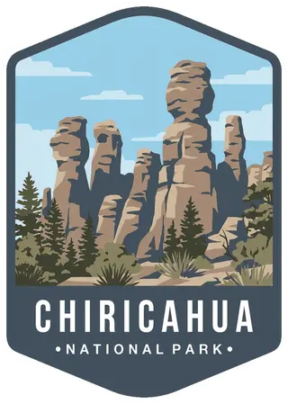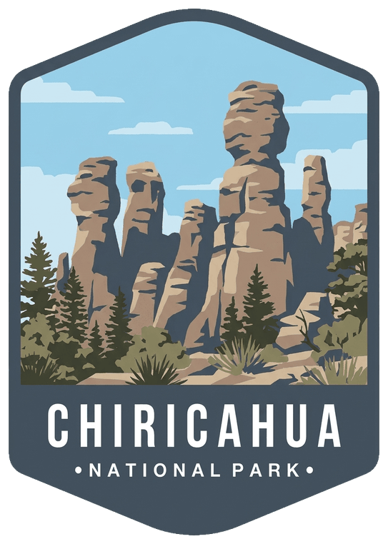
About Chiricahua
A wonderland of rhyolite rock pinnacles, balanced rocks and hoodoos rises from the Chiricahua Mountains, a sky island in southeastern Arizona. Redesignated a national park in 2026, it protects one of the most biologically diverse corners of the Southwest.
Explore rhyolite pinnacles and balanced rocks on foot or by car. Relax at the campground under star-filled, dark skies. See how a mountain range rising between two deserts creates a home for diverse wildlife. Imagine history here. Prehistoric peoples, Apaches, Buffalo Soldiers, Civilian Conservation Corps, ranchers, and homesteaders inhabited Chiricahua. (National Park Service)
Don't miss
- Heart of Rocks Loop
- Echo Canyon Trail
- Massai Point overlook
- Faraway Ranch
When to go
March to May and October to November
Planning a visit
Things to do
- Auto and ATV
- Scenic Driving
- Astronomy
- Stargazing
- Camping
- Food
- Picnicking
- Hiking
- Horse Trekking
- Horseback Riding
- Junior Ranger Program
- Wildlife Watching
- Birdwatching
- Museum Exhibits
Weather
The park elevation goes from 5,124 feet at the entrance to 7,310 feet on Sugarloaf Mountain. The top of the park can be 5-10 degrees cooler and windier than the visitor center and entrance. The higher elevations generally have more sun exposure. Clothing layers are always recommended here. The park is often cooler than cities in Arizona with summer highs in the 80s and 90s. Winter lows are often near or below freezing.
Getting there
Chiricahua National Park is in the southeast corner of Arizona. Interstate I10 from LA or Tucson to El Paso or Lordsburg runs about 40 miles north of the park. Exits in Willcox to Hwy 186 are the most direct paved access to the park from the north. (Exits 336, 340, and 344). Note: Exit 366 to Bowie will require driving 10 miles of dirt road. This route is recommended only if stopping at Fort Bowie National Historic Site.
Visitor details courtesy of the National Park Service. Official Chiricahua site
 Grand CanyonAZ
 Petrified ForestAZ
 SaguaroAZ
 Agua FriaAZ
 Apache–SitgreavesAZ, NM
 Baaj Nwaavjo I'tah Kukveni – Ancestral Footprints of the Grand CanyonAZ
 CongareeSC
 Crater LakeOR
 Cuyahoga ValleyOH
 Death ValleyCA, NV
 DenaliAK
 Dry TortugasFL