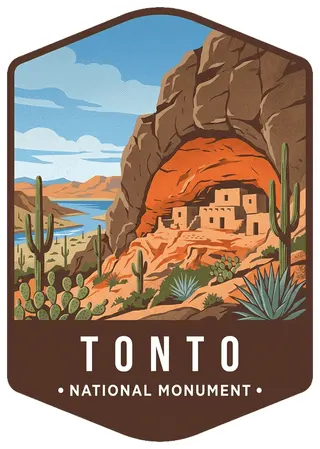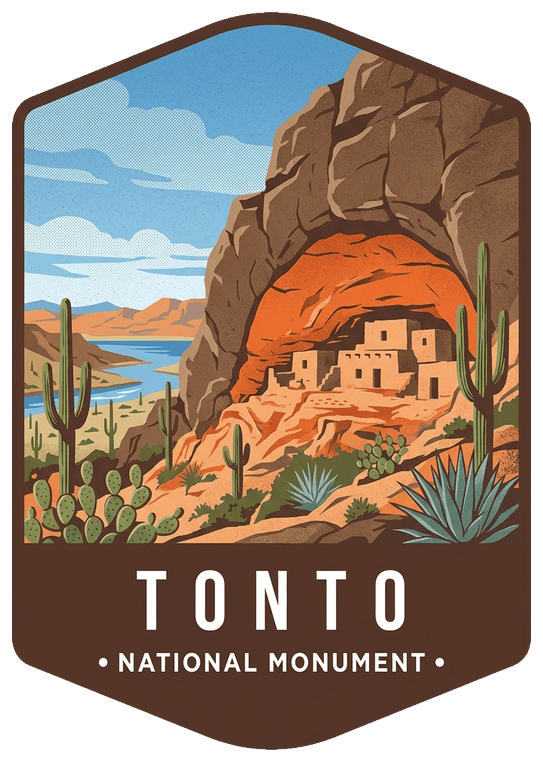
About Tonto
Located within the northern range of the Sonoran Desert lie two cliff dwellings that were occupied from 1300-1450 CE (common era). They represent a vibrant culture consisting of local and immigrant groups that lived in the Tonto Basin. Together they formed a new ideology, which archeologists refer to as Salado. Today, descendants of the cliff dwellers continue to call Arizona home.
Planning a visit
Things to do
- Biking
- Road Biking
- Food
- Picnicking
- Guided Tours
- Hiking
- Front-Country Hiking
- Junior Ranger Program
- Park Film
- Museum Exhibits
- Shopping
- Bookstore and Park Store
Weather
Weather during the summer can be extremely hot. It is typically 10 degrees Fahrenheit cooler than Phoenix, AZ. Winter weather may create hazardous conditions on the roads to Tonto National Monument. Severe thunderstorms may lead to a closure of the hiking trails.
Getting there
The cliff dwellings at Tonto National Monument are roughly two hours from the Phoenix metro area, located in the Tonto Basin. The Monument is off AZ Highway 188 near Roosevelt Lake. The nearest major towns are Globe (30 miles) and Payson (50 miles). See our Directions page for recommendations on the best way to drive here from the larger metro areas of Arizona.
Entrance fees
- Per Person$10
- Education/Academic GroupsFree
Visitor details courtesy of the National Park Service. Official Tonto site
 ChiricahuaAZ
 Grand CanyonAZ
 Petrified ForestAZ
 SaguaroAZ
 Apache–SitgreavesAZ, NM
 Baaj Nwaavjo I'tah Kukveni – Ancestral Footprints of the Grand CanyonAZ
 Tule LakeCA
 Tule Springs Fossil BedsNV
 TuzigootAZ
 Upper Missouri River BreaksMT
 Vermilion CliffsAZ
 Virgin Islands Coral ReefVI