
About Little River Canyon
Little River is unique because it flows for most of its length atop Lookout Mountain in northeast Alabama. Forested uplands, waterfalls, canyon rims and bluffs, pools, boulders, and sandstone cliffs offer settings for a variety of recreational activities. Natural resources and cultural heritage come together to tell the story of the Preserve, a special place in the Southern Appalachians.
On the badge
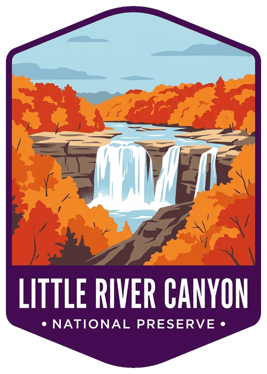
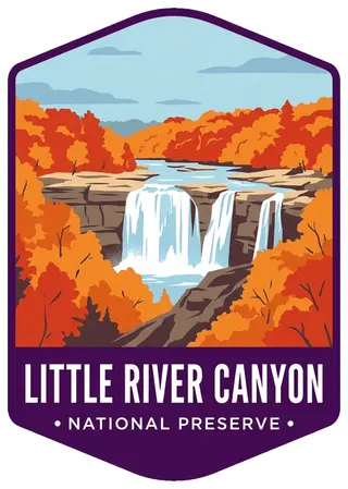
Little River Falls cascading over wide sandstone ledges, solid masses of orange and red autumn trees in a deep canyon.
Planning a visit
Things to do
- Auto and ATV
- Scenic Driving
- Biking
- Mountain Biking
- Road Biking
- Climbing
- Rock Climbing
- Fishing
- Freshwater Fishing
- Fly Fishing
- Food
- Picnicking
- Hiking
- Backcountry Hiking
Weather
The weather in Fort Payne, Alabama is mild. The average temperature in the winter is in the 50's. The average summer temperature is in the high 80's with high humidity. We receive about 55 inches of rain each year. Snowfall varies, but only lasts a few days per event.
Getting there
Little River Canyon National Preserve follows along the Little River and covers approximately 40 miles from the northeast corner to the southwest corner. The easiest way to access the park is by Alabama Highway 35 about 10 miles east out of Fort Payne, Alabama. Interstate 59 is the closest interstate.
Entrance fees
- Private Vehicle$15
- Motorcycle$15
Visitor details courtesy of the National Park Service. Official Little River Canyon site
 Birmingham Civil RightsAL
 ConecuhAL
 Horseshoe BendAL
 TuskegeeAL
 Tuskegee AirmenAL
 Tuskegee InstituteAL
 MojaveCA
 NoatakAK
 PinelandsNJ
 Tallgrass PrairieKS
 TimucuanFL
 Valles CalderaNM