
About Moores Creek
In the early morning hours of February 27, 1776, Loyalist forces charged across a partially dismantled Moores Creek Bridge. Beyond the bridge, nearly 1,000 North Carolina Patriots waited quietly with cannons and muskets poised to fire. This battle marked the last broadsword charge by Scottish Highlanders and the first significant victory for the Patriots in the American Revolution.
On the badge
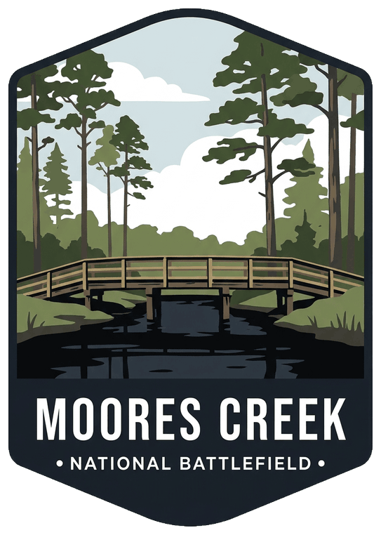
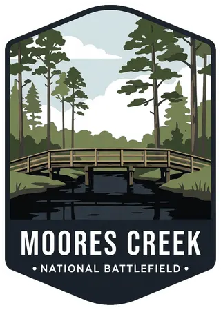
The reconstructed wooden bridge over dark blackwater Moores Creek, against tall longleaf pines.
Planning a visit
Things to do
- Arts and Culture
- Craft Demonstrations
- Cultural Demonstrations
- Fishing
- Guided Tours
- Living History
- Historic Weapons Demonstration
- Paddling
- Canoeing
- Junior Ranger Program
- Park Film
- Museum Exhibits
- Shopping
- Bookstore and Park Store
Weather
Currie, North Carolina has mild Winters and moderate to hot Summers with varying humidity.
Getting there
Moores Creek National Battlefield is located 20 miles NW of Wilmington, North Carolina. · From Highway 17, follow US 421 to NC 210, then West on NC 210 · From Interstate 40, take exit 408 (NC 210) West at Rocky Point. · From Interstate 95 North, take exit 13-A for NC 74 East towards Wilmington. · From Interstate 95 South: take exit 81-B for I-40 East towards Wilmington. · From Fayetteville, North Carolina, take Interstate 95 South to Exit 13-A Questions please call us as 910-283-5591 x2234
Visitor details courtesy of the National Park Service. Official Moores Creek site
 Great Smoky MountainsTN, NC
 Cape HatterasNC
 Carl Sandburg HomeNC
 CherokeeTN, NC
 Fort RaleighNC
 NantahalaNC
 Pea RidgeAR
 PetersburgVA
 RichmondVA
 River RaisinMI
 ShilohTN, MS
 Stones RiverTN